At LiCuSpace, we observe the atmosphere – continuously and at scale.
Utilize the latest laser based measurement technology for your application.
Recommended devices:
Relevant parameters:
3D wind, temperature, clouds, visibility
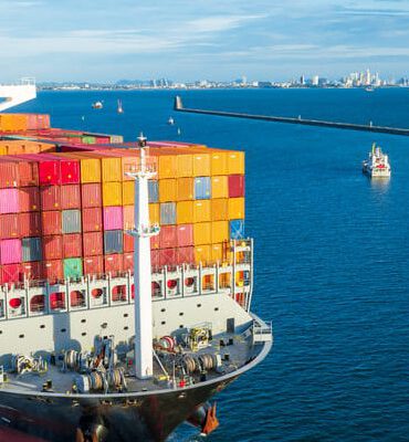
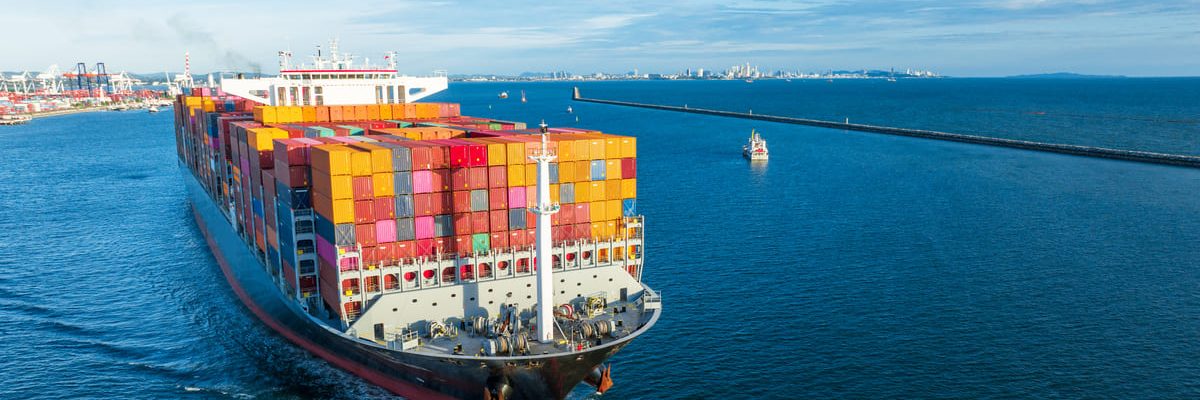
Big Vessels
Modern sailing ships require detailed knowledge of wind conditions in general, as well as within a radius of approximately 2 km and an altitude of about 500 m around the ship, with the highest possible accuracy. That is what LidarFLEX does. To achieve this, LidarFLEX combines at least three LidarONE units. Course adjustments can be made with greater precision, and steering maneuvers can be executed more effectively. The entire propulsion system of modern cargo sailing ships becomes more efficient, and voyages become safer, faster, and more cost-effective. LidarFLEX can be easily retrofitted. The data can be viewed directly on the LidarFLEX web server. At the same time, it is published via a standard web service interface (machine-to-machine interface). Importing the data into the ship’s systems is thus straightforward.
Sailing Vessels
Modern sailing ships require detailed knowledge of wind conditions in general, as well as within a radius of approximately 2 km and an altitude of about 500 m around the ship, with the highest possible accuracy. That is what LidarFLEX does. To achieve this, LidarFLEX combines at least three LidarONE units. Course adjustments can be made with greater precision, and steering maneuvers can be executed more effectively. The entire propulsion system of modern cargo sailing ships becomes more efficient, and voyages become safer, faster, and more cost-effective. LidarFLEX can be easily retrofitted. The data can be viewed directly on the LidarFLEX web server. At the same time, it is published via a standard web service interface (machine-to-machine interface). Importing the data into the ship’s systems is thus straightforward.
Ports
With ships getting larger, shipowners becoming more demanding, and ports becoming increasingly congested, accurate knowledge of wind conditions is becoming increasingly critical. It is difficult, if not impossible, to measure the true incident wind in terms of speed and direction. LidarFLEX, LidarCUBE mini, LidarCUBE light, or, if necessary, LidarCUBE eco with FullSky enables precise wind measurement around a ship within a radius of approximately 2 km and at an altitude of about 500 m. LidarFLEX combines at least three LidarONE units for this purpose. Incoming gusts can be precisely determined from all directions. Any necessary corrective maneuvers can be initiated in a timely manner. Courses can be set more precisely if needed, and positioning systems can control more precisely. LidarFLEX provides an accurate wind map around the entire ship. LidarFLEX can be easily retrofitted. The data can be viewed directly on the LidarFLEX web server. At the same time, it is published via a standard web service interface (machine-to-machine interface). This makes it easy to import the data into the ship’s systems.
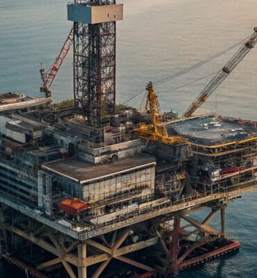
Offshore Construction Vessels (OCV)
Offshore construction vessels make an enormous contribution to our economy by ensuring the supply of energy and raw materials. For virtually all tasks, precise positioning and maintaining that position—regardless of external conditions such as waves and wind—is essential. Knowing the wind conditions with precision at least a few minutes before they reach the vessel’s vicinity creates the flexibility needed for predictive control to compensate for wind effects.
LidarFLEX creates these conditions for safer operations. Within a radius of approximately 2 km and an altitude of about 500 m around a ship, the wind is measured in the most accurate detail.
LidarFLEX can be easily retrofitted. The data can be viewed directly on the LidarFLEX web server. At the same time, it is published via a standard web service interface (machine-to-machine interface). This makes it easy to import the data into the ship’s systems.
/ FullSky Verticals