At LiCuSpace, we observe the atmosphere – continuously and at scale.
Utilize the latest laser based measurement technology for your application.
At LiCuSpace, we observe the atmosphere – continuously and at scale.
Utilize the latest laser based measurement technology for your application.
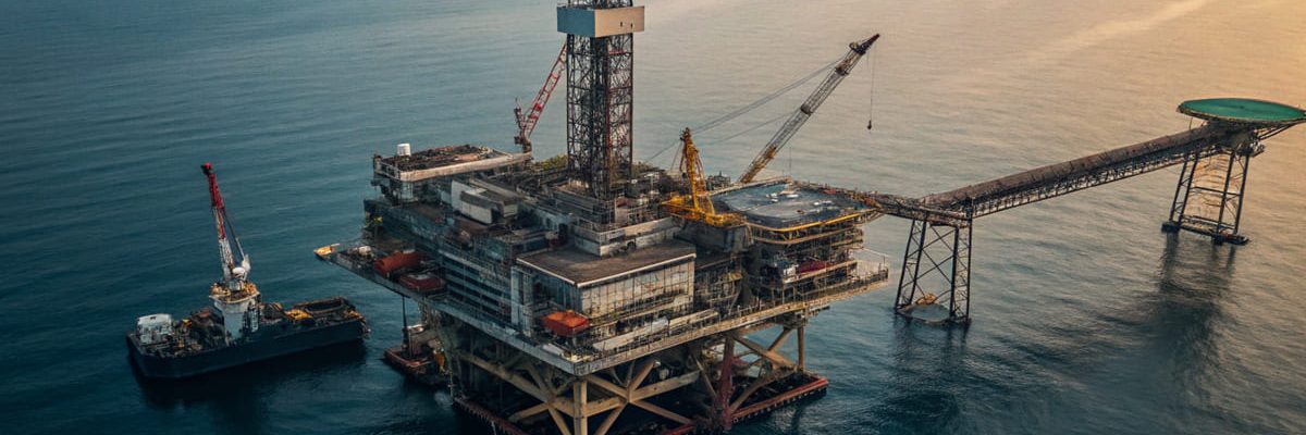
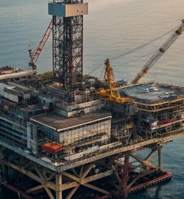
Maritime industry – oil & gas


You are currently viewing a placeholder content from Vimeo. To access the actual content, click the button below. Please note that doing so will share data with third-party providers.
More InformationYou are currently viewing a placeholder content from YouTube. To access the actual content, click the button below. Please note that doing so will share data with third-party providers.
More InformationYou need to load content from reCAPTCHA to submit the form. Please note that doing so will share data with third-party providers.
More Information