

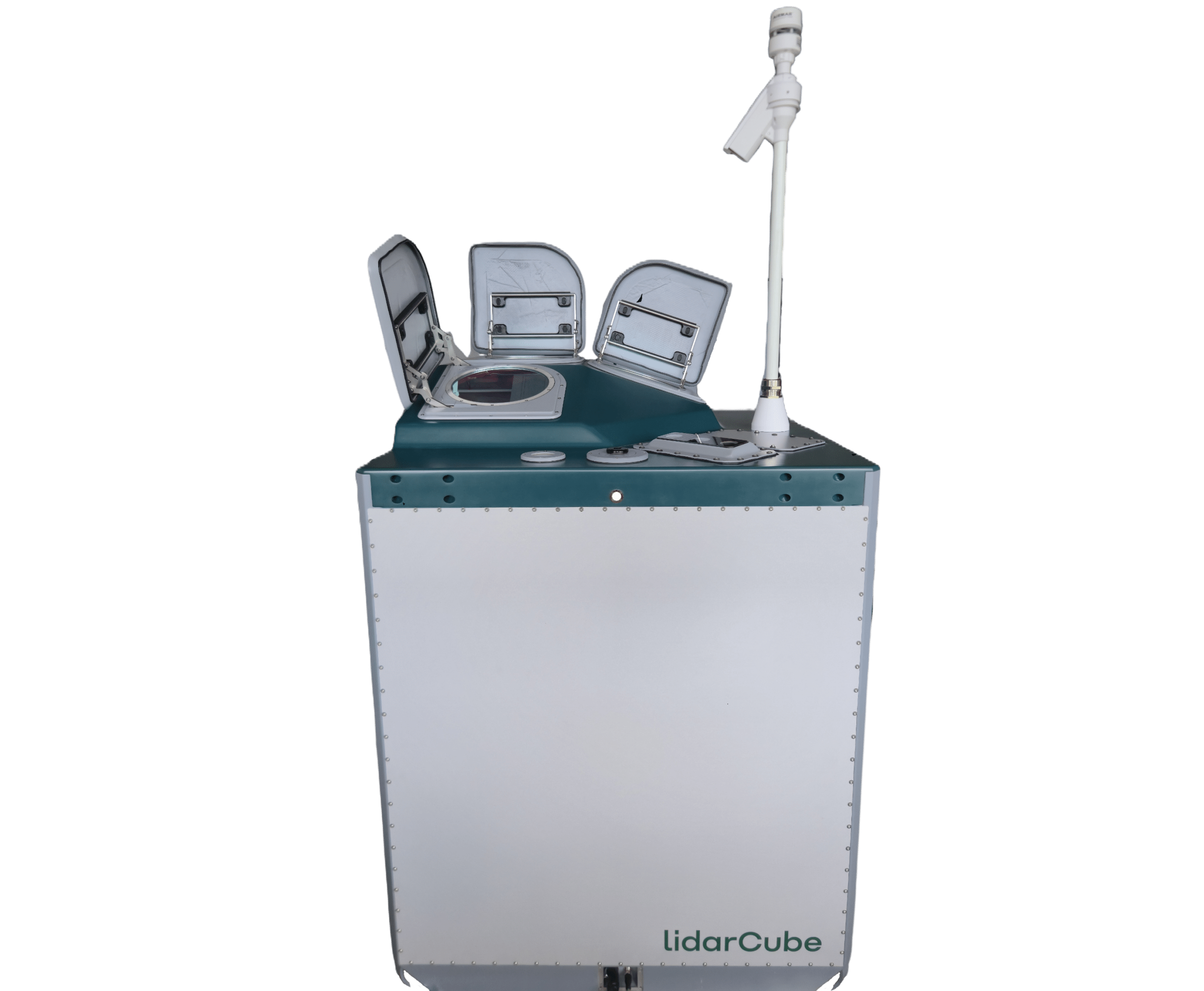
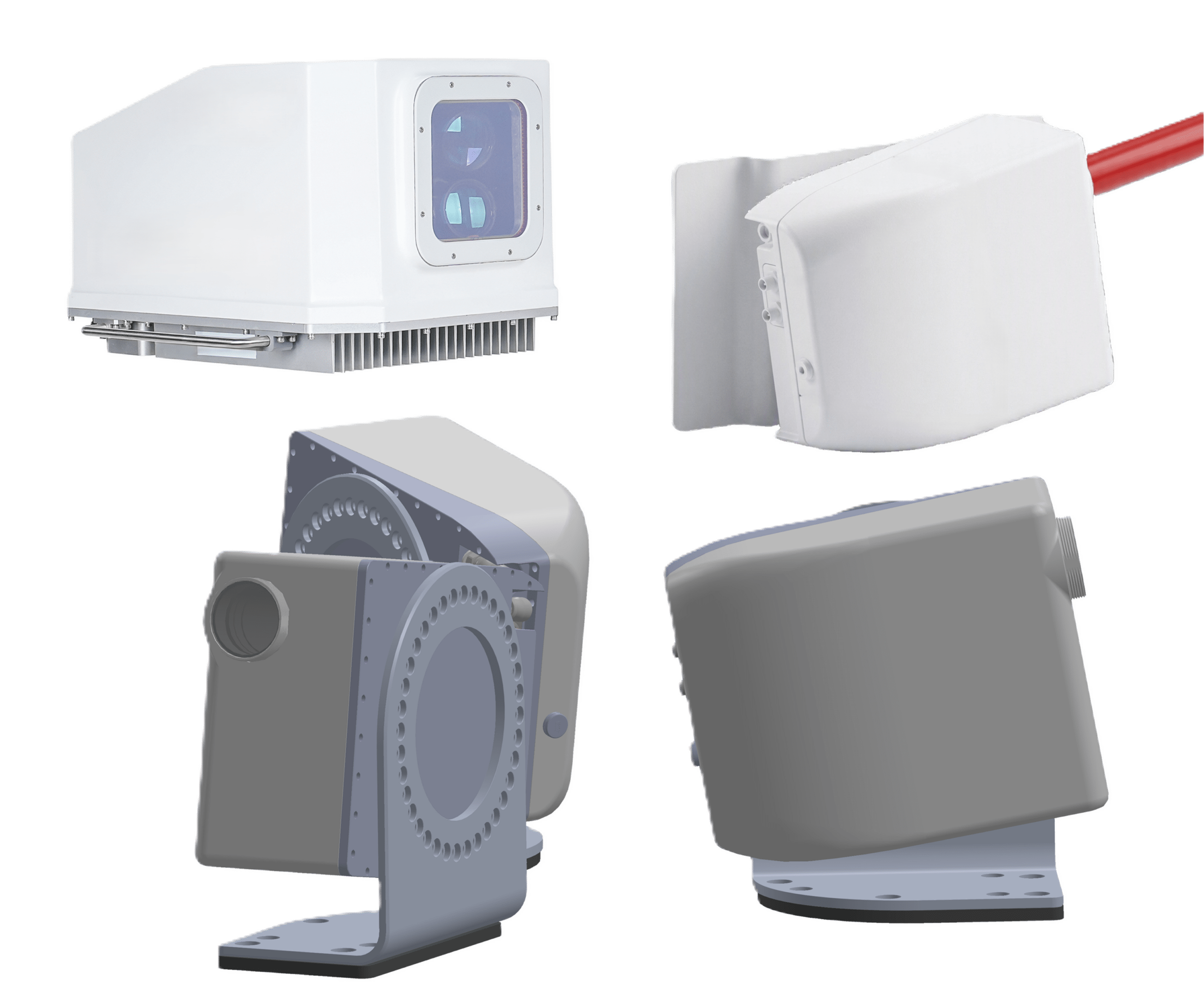
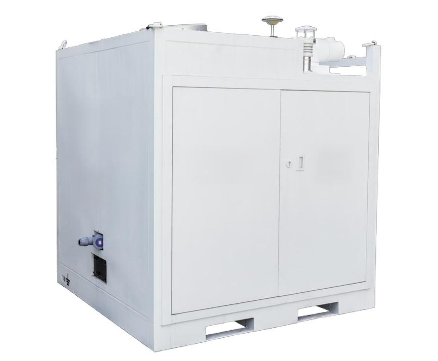
LidarCUBE
3D Wind | Temperature
Flagship LiDAR for up to
100 km / 330,000 feet
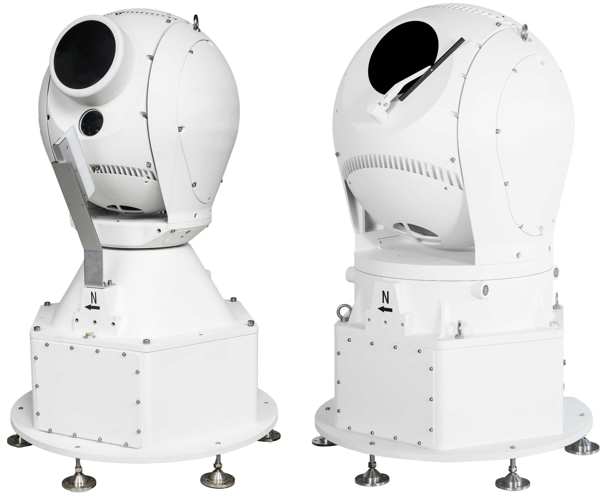
LidarCUBE eco
3D Wind
Scanning LiDAR for up to
30 km / 100,000 feet
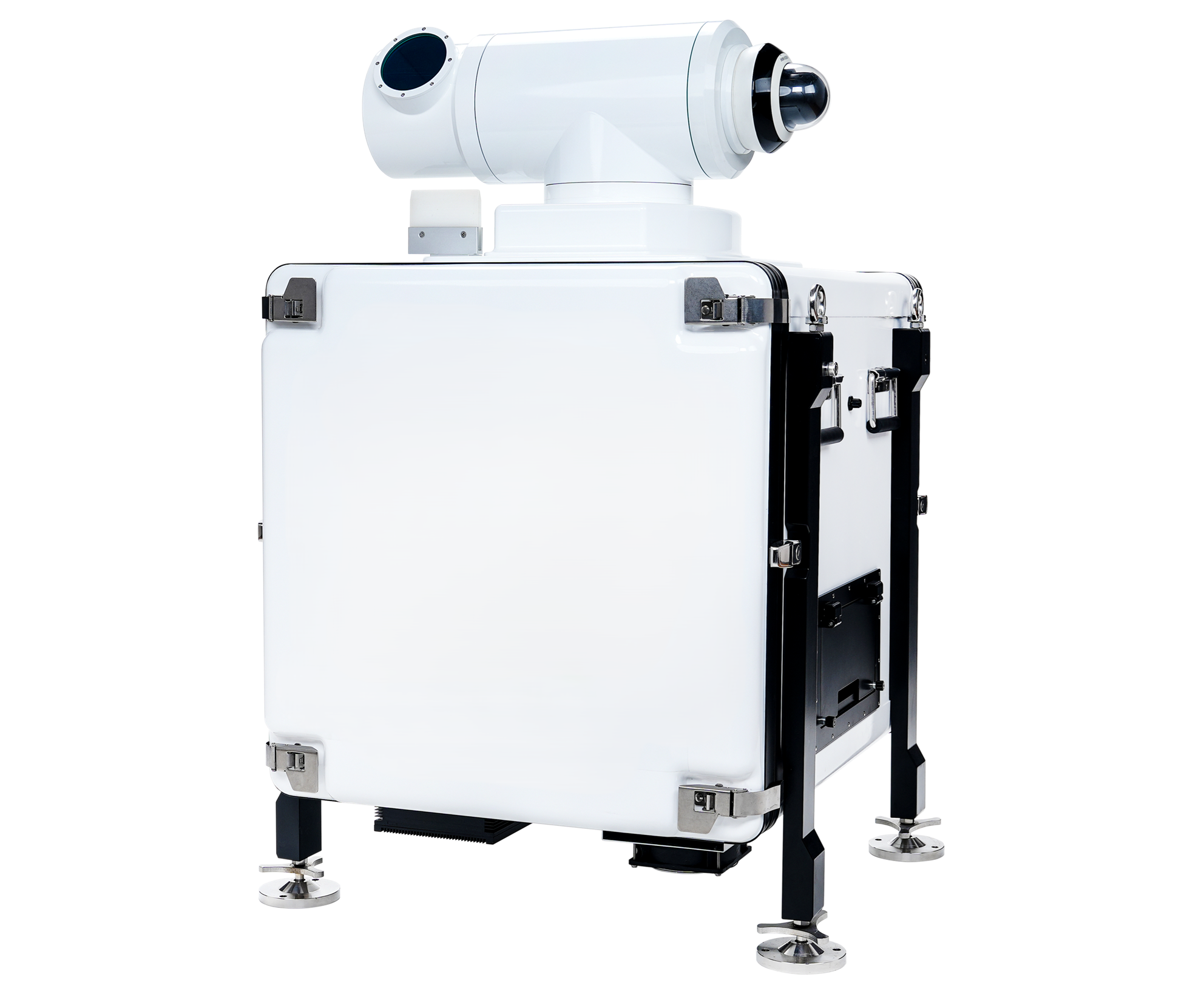
LidarCUBE light
3D Wind
Scanning LiDAR for up to
10 km / 33,000 feet
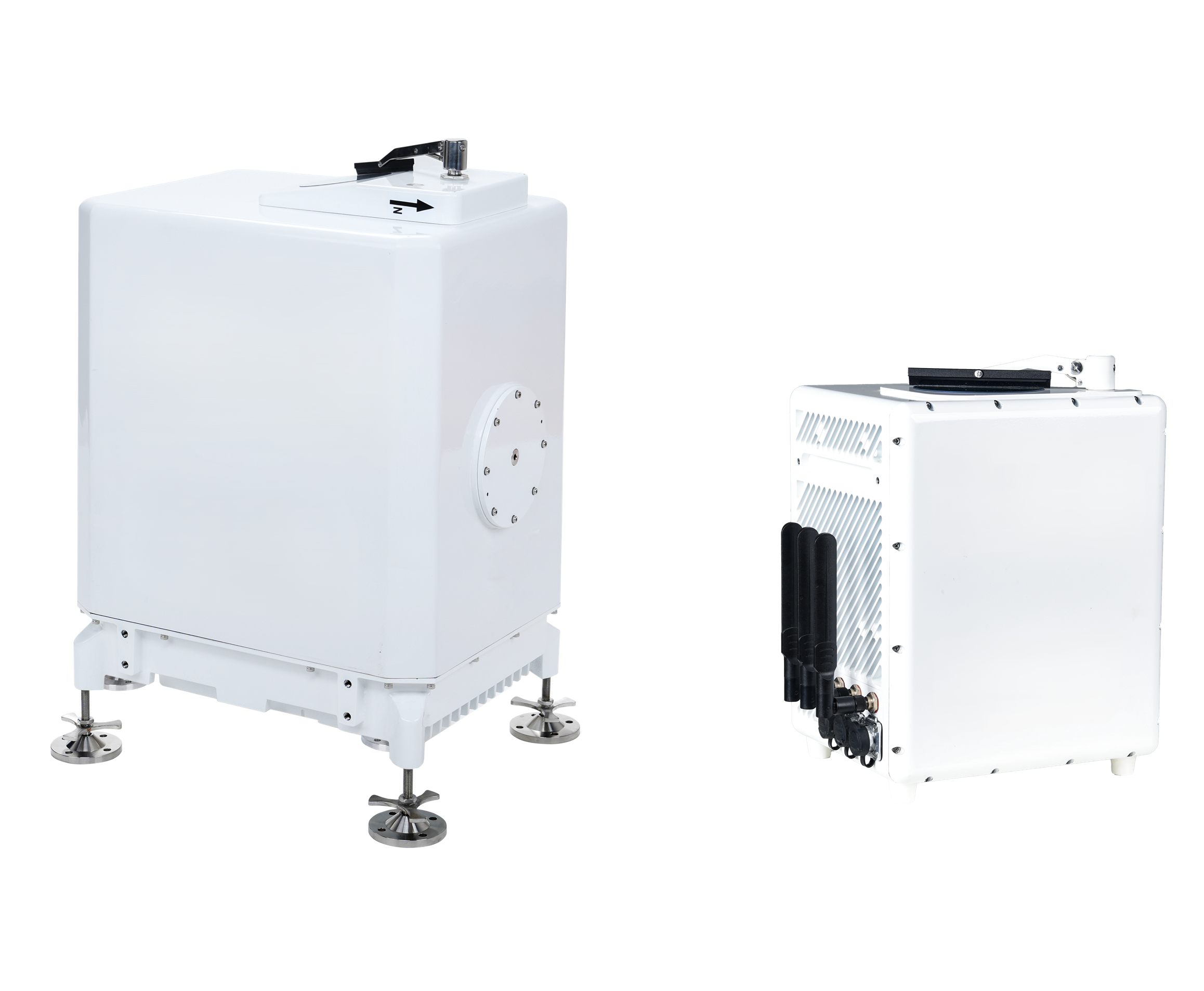
LidarCUBE mini S/M
3D Wind
LiDAR for up to
3 km / 10,000 feet
LidarCUBE ht
Temperature | Rel.Humidity
LiDAR for up to
12 km / 40,000 feet
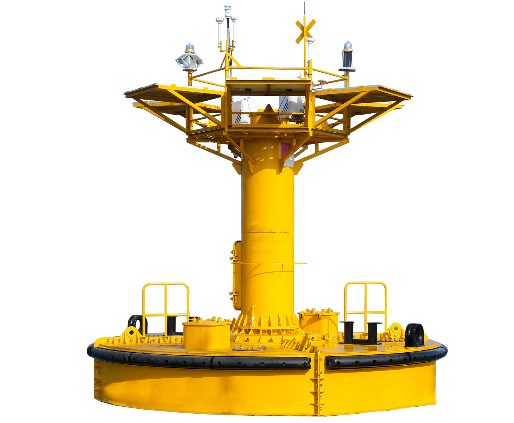
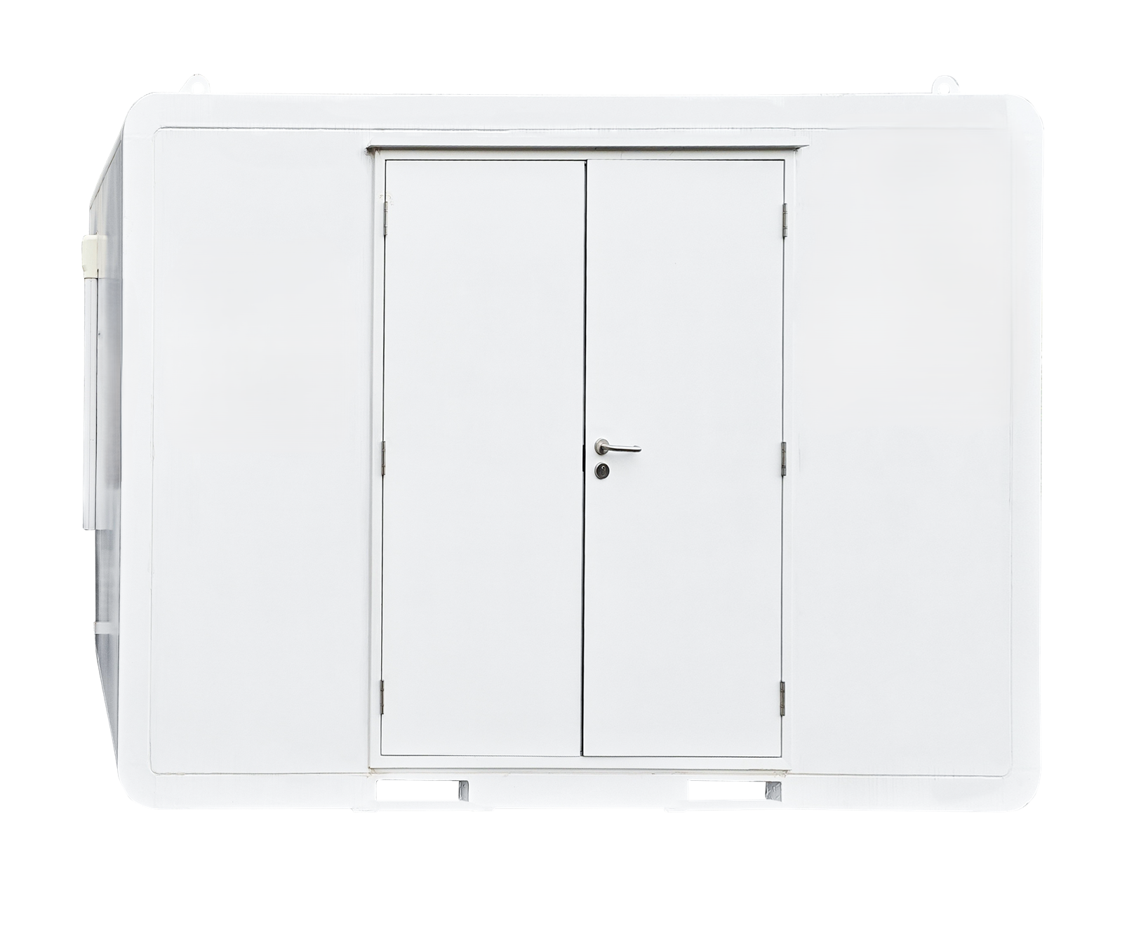
LidarCUBE special
3D Wind
Floating LiDAR for up to
350 m / 1,200 feet
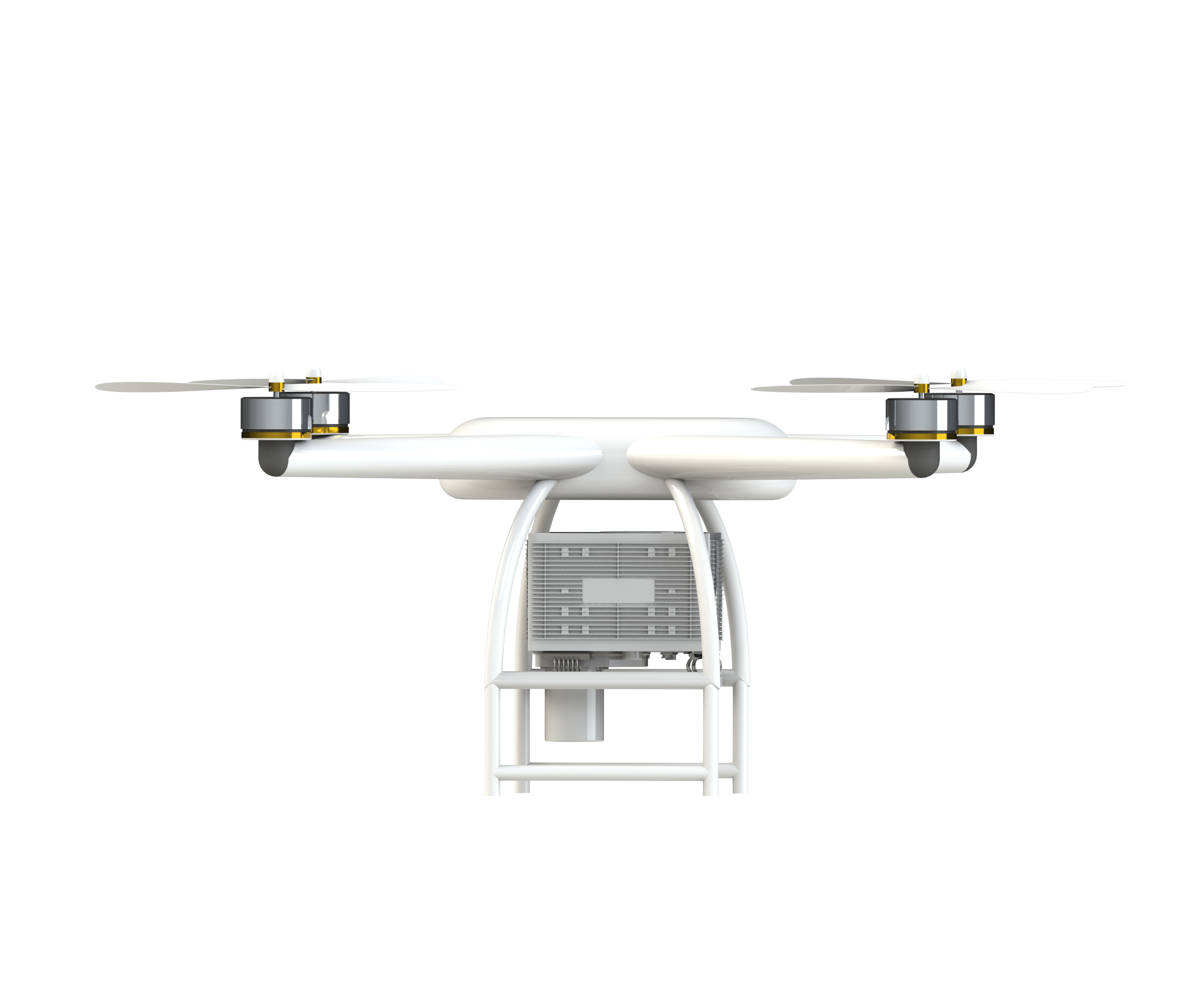
LidarAIR
3D Wind
Airborne LiDAR for up to
1,5 km / 5,000 feet
LidarONE/LidarFLEX
3D Wind
Multi-purpose LiDAR for up to
2 km / 6,500 feet
LidarCUBE multi
3D Wind
LiDAR for up to
15 km / 50,000 feet